- See more at: http://www.jetseotools.com/free-meta-tag-generator/output#sthash.UfVEJ6sq.dpuf Raspberry Ridge Hike - Knitting is the new Nintendo

Raspberry Ridge Hike

Pano view to the West (click for larger view)
View from summit of Raspberry Ridge
It was more than 30 degrees Celsius last Saturday when my sister and I went hiking in Kananaskis. I knew it was going to be hot, but you never realize how hot until you're in the middle of it. However, it was a beautiful day regardless and we had a wonderful hike. We even found some humour in it as we'd call out "shade ahead" to keep ourselves motivated to keep climbing because half the time the 'shade' wasn't really much more than a bush to cover your calves, but at times there was sufficient coverage to stop for some relief from the sun. At least the higher we climbed the better the breeze became and that was our saving grace!

Raspberry Ridge
Difficulty: moderate*
Round trip: 9 km
Hiking Time: 3.5-5 hrs
Elevation Gain: 653 m
FitBit: approx 18,000 steps and 215 floors

To find the trail head you're going to drive 11km south on Highway 940 from the t-intersection where highways 40/940/541 intersect. It's a pulloff on the west side of the road, park before the gate. (If you drive past a rest stop on the west side about 12km up and 1 km past the pulloff you'll know you've gone too far.)

Start your hike by passing the gate and heading down the road, but not far, about 40m, you'll see the road continue to the left, but an overgrown path veers up and slightly to the right, take the latter. The path becomes more defined as you continue at a relatively easy incline through the trees. Early on there will be a break in the treeline and you will be able to see your destination to the left up on the ridge. You'll know it by the teeny tiny distant fire lookout station on the very right (north) side of the ridge. I asked my sister at this point if it was more daunting or exciting to see how far and how high we had to climb, myself feeling like "yikes are we crazy!?", but I'll tell you, when we returned to that same spot and were able to see how far we'd hiked, now that was a great feeling!
See the teeny white spec on the right peak? That's the destination!
Initial portion is a walk through the forest.
This hike has lots of wild flowers!
A little ways into the hike you'll cross a stream gully and begin a more steep ascent. (You'll go through some tall grass as well so make sure if it's tick season you're aware to check yourself after!) When you reach a small cairned (man made pile of stones) fork in the path go right. If you go left you will still get there, but I've read it adds several km to your journey. It is after this junction that the grade of the hike goes up significantly. Trust me, if we can do it, you can do it! In addition to the incline however, the view behind you also becomes more magnificent with every step so it is worth it!
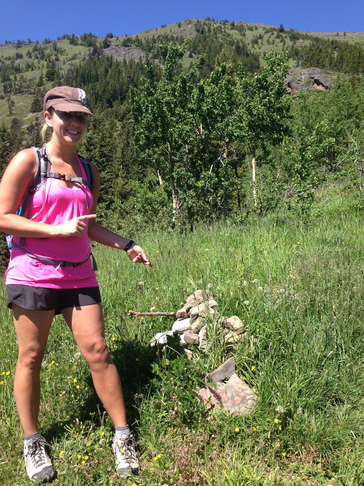
Cairn to mark the fork, go --->>>
As you climb it's not very clear where you will crest the ridge, but once you get close it comes up quickly and being I've never really done a hike like this yet it was exciting. Sure the view behind us was Amazing, but what was ahead was unknown. I jokingly said to my sister "this better be good" before I peeked over the top. And it was good, more than good. Creation is so amazing it boggles my mind and this is one reason why I love hiking so much now. The fact that God created the Earth and specifically these mountains and we get to enjoy them, it is so cool, (so cool I have no better word at the moment!).
The view to the South just before cresting the ridge
Once you come over the top the path continues north along the ridge and you head towards the fire lookout station. Anyone I told I was doing this hike will be able to attest that I was quite excited to see a 'real live' lookout station. I had so many questions I wanted to ask the attendant about it, but to my dismay the area surrounding it was cordoned off to keep visitors (or curious people like me) at bay so the person can actually do their job and have some privacy. I respect that. I'll just have to refer to Google now I guess :( Anyways, I did catch a glimpse of a woman on the deck as she dissapeared around the corner. She had long a fiery red ponytail (no pun intended, it was very red!). I joked with my sister that spotting the fire lookout attendant was like spotting a yeti haha.

The fire lookout station
We snapped lots of pictures seeing as the view was spectacular then stopped to rest our legs and have a quick snack up on the ridge. There was no shade to be had so we made it quick before starting our way back down.
Pano view to the North (click for larger view)

Me x3! I love the iPhone pano feature :)
We figure it took about 2 hours to hike up. As most hikes are the descent always takes less time, but with this one because the slope is steep and the rock on the paths can make it a bit slippery so in some parts it can be tough on the knees. We didn't use poles, though they could be beneficial for extra support. Once you reach the cairned fork again the slope eases up and you are well on your way back. In total we figure it took us about 4 hrs and 15 min including our break at the top.
As far as popularity of the hike goes we found it interesting that on the way up we didn't encounter any other hikers, and up at the top we must have been the 3rd pair up there. Although by the time we were ready to leave there were several more groups. It's not a busy hike by any means, but it may have had something to do with the blazing sun.
There were so many butterflies and I wanted to get a picture so bad, I just barely got this one at the end of the hike before a big bug landed on my screen...


All in all a great hike and I would do it again, however I have a good dozen others I want to try first!


Happy Hiking :)


*"Where Locals Hike" rates this one as easy, but I'm going to say for the average hiker or at least someone with my stamina it's a moderate one. The scorching heat may have had something to do with it, but I think it's better to be pleasantly surprised than frustrated at the difficulty rating, don't you? 

CONVERSATION

0 comments:

Post a Comment